
Subdivision Plats
A plat is a cadastral map that shows the division of a piece of land. The surveyor drafts plats of land surveys to show the distance and bearing between section corners, often times with topographic information. The plat of towns and villages reveals subdivisions split into blocks with streets and alleys. The act of splitting the land into fragments that are easier to sell and develop is known as subdivision. A local government agent or body such as zoning board would review and approve them for the purpose of making the plats legally valid and also to avoid future problems concerning boundaries.
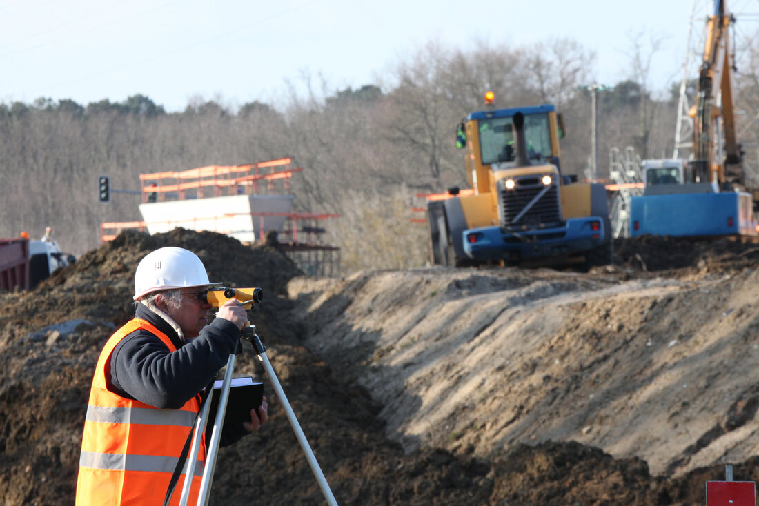
Importance Many property owners do not know the essence of subdivision plat until a boundary discrepancy comes up and they lose their property due to lack of legal documents to prove their ownership. Many buyers also skip the importance of a survey when buying a home to save cost, meanwhile, the benefits of surveying properties outweighs its cost. Plat surveys are essential in defining parcels of land around a widespread area like a farmland or a town subdivision where it will be quite difficult and expensive to conduct precise estimates. Plats survey provides all the information needed regarding a region of land and its inhabitants. These surveys are needed to determine the accurate property boundaries for homeowners. Wilmington Surveyors near you can be contacted to measure section corners and subdivision, fence, existing monuments, lines etc. This survey reveals the facts and conflict regarding any parcel of land or property. Basics of Subdivision Plats The first thing to be considered in a subdivision plat is the essential dimension of the section in the area covered. The area is mostly a small city, town or village. Each area or subdivision is labeled with measurement covers and distances that allows inspectors to understand the layout, size, dimension and boundaries of the lot. A lot is a subdivision of a section that is basically irregular in shape; its acreage also differs from that of regular pieces of lands. Public Land Survey System Public land survey system also known as rectangular survey system is a surveying method that is utilized in plating, dividing properties for the purpose of sale and settling. It is used majorly as a primary survey method in the United States. The survey of any regional area is a multi-step process. Two control survey lines are created which are the baseline and the principal meridian which runs east-west and north-south respectively. Lot and Block Survey System The lot and block survey system, seldom referred to as recorded plat survey system or recorded map survey system is a method popularly utilized in Canada and united states to locate and identify lots in suburban areas and exurbs. The system starts with a large tract of land also explained as metes and bounds or public land survey system. To divide the original tract into smaller lots, a subdivision survey is conducted and a plat map is created. The lot on the plat map is given a number or letter. |
|